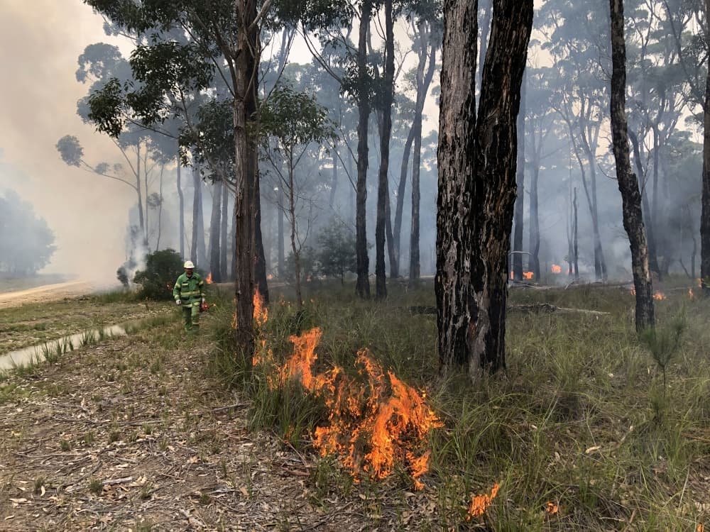
Wombat Track burn
In response, the Victorian Government has invested $59 million to protect our biodiversity and support its recovery. This includes investment in detailed species assessments, reseeding programs and protection from pests and predators to support the recovery of native species.
Fuel management
Our strategic fuel management program is a critical part of how DELWP continues to protect the environment and communities from future bushfires' impact.
Planned burning is one of the most effective ways to reduce bushfires' size and intensity; without it, bushfires will be bigger and harder for our firefighters to control.
When a burn site is nominated to be put on the Joint Fuel Management Plan (JFMP) - the state-wide program of works to manage fuel on public and private land - FFMVic use the annually updated Victorian Biodiversity Atlas to identify the key ecological values within a planned burn area.
Actions taken to protect biodiversity
Biodiversity specialists also assess planned burn areas where flora and fauna values are known and provide mitigations and exclusion zones to incorporate into the burn planning and delivery.
FFMVic also works with various stakeholders, including conservation groups and local communities, to collaborate on burn planning.
Strategically planned burning around areas of significant biodiversity and wildlife refuges can reduce the risk bushfire presents to life and property and reduce the devastating impacts of unrestrained fire on critical habitat.
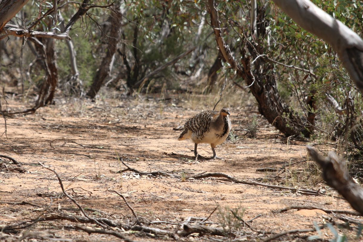
This has recently included creating exclusion zones around known feeding areas for the Glossy Black Cockatoo in burns planned for parts of East Gippsland.
On becoming aware of new feeding areas for the Glossy Black Cockatoo in the Wombat Track burn footprint near Nowa Nowa in East Gippsland, burn planners amended the plan to reflect this high value site and excluded it from the burning area.
This burn is in a landscape management zone intending to reduce overall fuels to protect the landscape and land management values such as habitat for fauna species. Crews will use mosaic, or 'cool' burning, which means they will apply fire at appropriate times and lower intensities to maintain forest values such as the She-oaks in this area as well as other main areas of potential feeding habitat for Glossy Black Cockatoo. This burn was postponed due to rain but will be carried out when conditions are suitable.
Environmental protection
Another part of East Gippsland posing a high bushfire risk is the area from Dargo, across further east to the Mitchell River National Park and surrounding areas.
Burning near the Mitchell River National Park aims to create a fuel reduced corridor running from west to east, sitting above and protecting the communities of Flaggy Creek and Wuk Wuk as well as larger centres.
As with other burns like Wombat Track, mitigation measures are put in place to reduce the impact on forest values present within the burn area, including having identified exclusion zones and creating mineral earth breaks around habitat or vegetation communities.
We have drastically reduced the area for fuel management in East Gippsland due to 2019-20 fires' impacts. However, to protect communities and the environment, we still need to carry out planned burns in high-risk areas in Gippsland that are not impacted by the fires. Continued planned burning will reduce the risk of bushfire in these unimpacted areas so we can protect communities, wildlife and the environment from future bushfires devastating this region again.