 DELWP
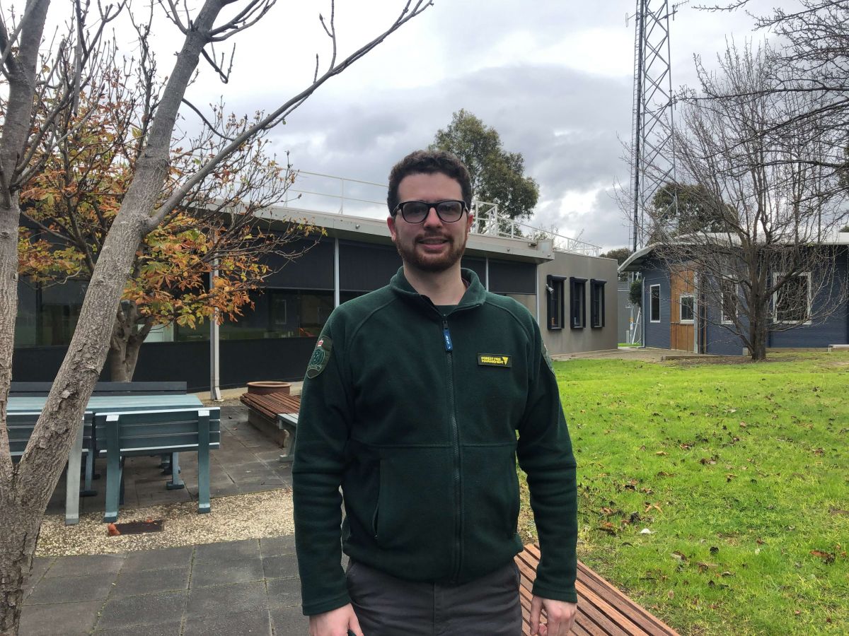
DELWP One of those scientists is Frazer Wilson, Team Leader of Risk and Evaluation in Port Phillip region and FFMVic’s project lead for mechanical fuel treatment (MFT) research. He has a degree in geospatial science.
“Most people haven’t even heard of geospatial science,” Frazer said.
“It is the science of location, generally recognised as mapping, and mapping and modelling is something that I get to use daily.”
“It can be anything from making a simple map of ecological values in an area to modelling the expected path of a fire during the bushfire season so that the community can be informed.
“Understanding the ‘where’ of bushfires and bushfire planning is absolutely critical and my geospatial science degree has been very useful in assisting with this.”
As part of his project lead role Frazer has been updating FFMVic’s residual risk modelling processes so it will include MFTs such as mulching, into Phoenix Rapidfire and the department’s residual risk metrics.
PHOENIX Rapidfire is a bushfire simulator developed by researchers at The University of Melbourne. It is mainly used during summer to predict the path of bushfires but can also be used for strategic planning, fuel treatment testing scenarios, and to monitor risk in planned burn sites.
Frazer says there are many things to like about his job.
“I like having the ability to be regularly connected with the latest science and getting to be part of building projects and then implementing them,” he said.
“It is exciting to implement projects I have had a part in, especially here in Victoria.
“I get to work with community groups in the Port Phillip region to build projects that increase community resilience to fire.
“It’s great to be making a difference to reduce risk to people from bushfire.”
Read more about the work Frazer is doing on the FFMVic website.
Page last updated: 01/09/21